Pensacola Sunday Afternoon Weather: The Weather Service Says Showers Likely Before 4, the Station Feed Stays Gray
Sunday afternoon splits its forecasts in Pensacola: the National Weather Service expects showers likely - and maybe a thunderstorm - before 4 p.m. across the north county, while the station's own feed holds the city gray and mild at 72, with the week's real rain still aimed at Tuesday night and Wednesday.
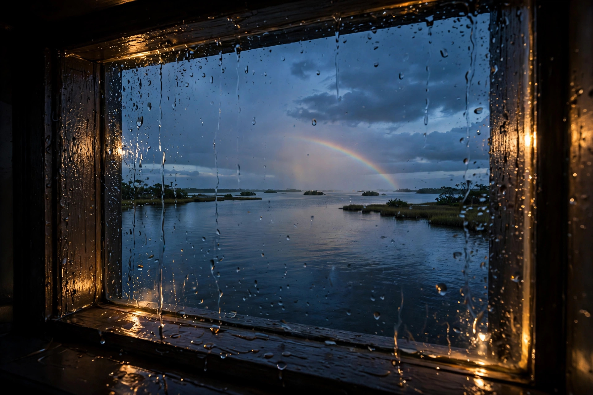
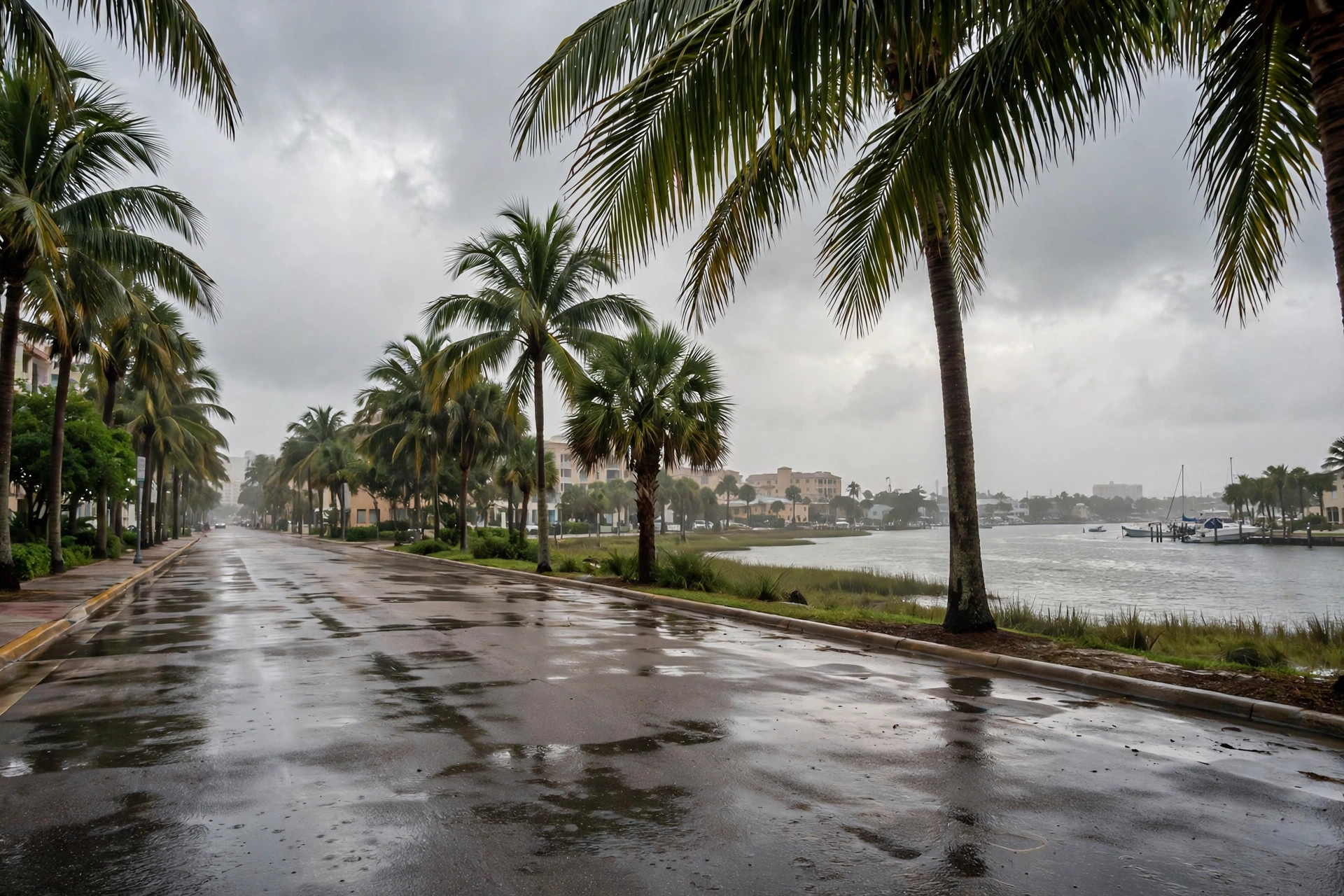
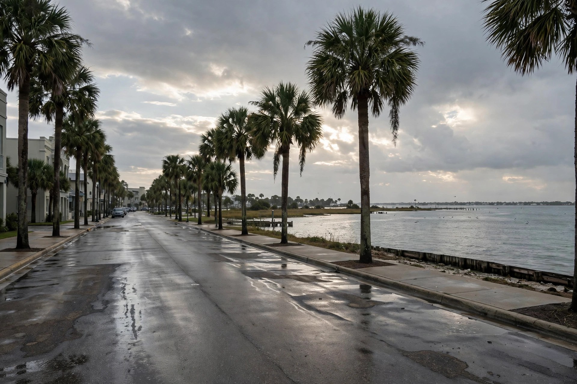
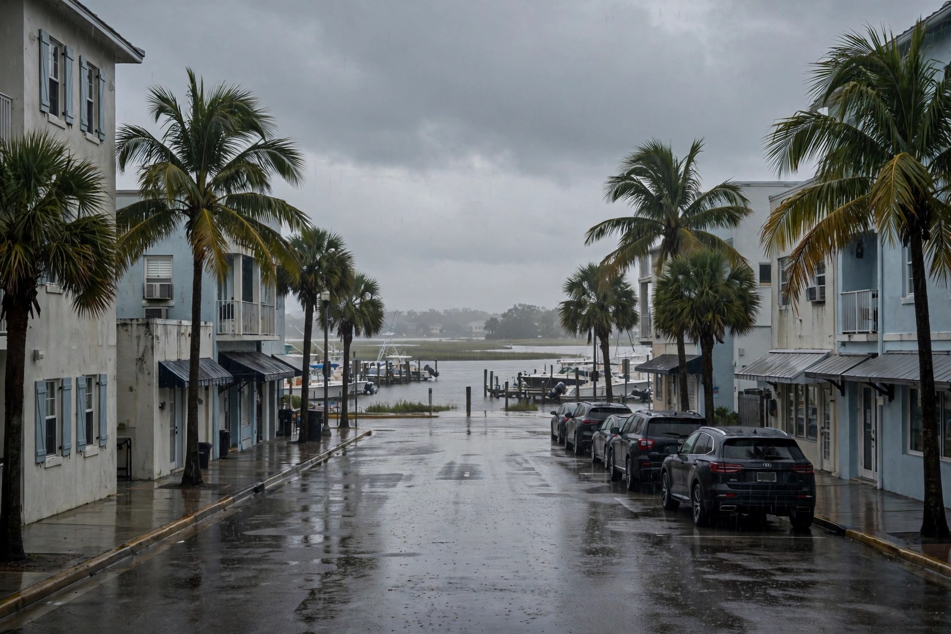
Pensacola's Sunday, November 1 is mild, gray and unsettled, and the afternoon carries the day's best rain chance. The National Weather Service forecast for the North Escambia area, published Sunday by NorthEscambia, calls for showers likely and possibly a thunderstorm before 4 p.m., then a chance of showers, under mostly cloudy skies with a high near 75, an east wind of 10 to 15 mph gusting to 20, and a 60 percent precipitation chance - a tenth to a quarter inch of new rain, except higher amounts possible in thunderstorms. The station's live feed (Open-Meteo) read 70.1 degrees and overcast at mid-afternoon, with a city high of 72.3, a low of 67.5 and a lower point precipitation chance of 24 percent; the two forecasts differ on this afternoon's odds, not on the week's shape. Sunday night keeps a 30 percent shower chance before 7 p.m. on the Weather Service forecast, with a low around 64.
Monday, November 2 is the week's driest and calmest day on both outlooks: partly sunny with a high near 78 on the Weather Service forecast, and overcast at 76.3 and 66.6 with just a 4 percent precipitation chance on the station feed - a clean Election Day eve for the FEMA registration points' 8-to-5 session and the Mulat Bayou jury selection. Tuesday, Election Day, stays partly sunny near 79 by day on the Weather Service forecast, with the station feed holding its drizzle code (53) at 77.0 and a 20 percent chance; both outlooks then bring the rain in after dark, the Weather Service putting a 40 percent shower and thunderstorm chance after 1 a.m. Tuesday night.
Wednesday is the week's wettest day on both: showers likely and possibly a thunderstorm on the Weather Service forecast at a 70 percent precipitation chance and a high near 78, against the feed's drizzle (51) at 82.8 and 48 percent. From there the week dries and cools in steps - Thursday mostly sunny near 77 with a 20 percent shower chance, Friday mostly sunny near 77 for the opening of the Blue Angels Homecoming weekend (mainly clear, 81.2 and 64.2, on the feed), and Saturday sunny near 75, with Friday night's low dipping to around 52 on the Weather Service outlook.