Midday at 74 Degrees and Mainly Clear: Election Day Showers Still at 47 Percent, Then Wednesday's Front
Pensacola's Election Day eve has warmed into the mid-70s under mainly clear skies. The station's live feed still calls Tuesday showers at 47 percent, and Wednesday remains the week's turning point.
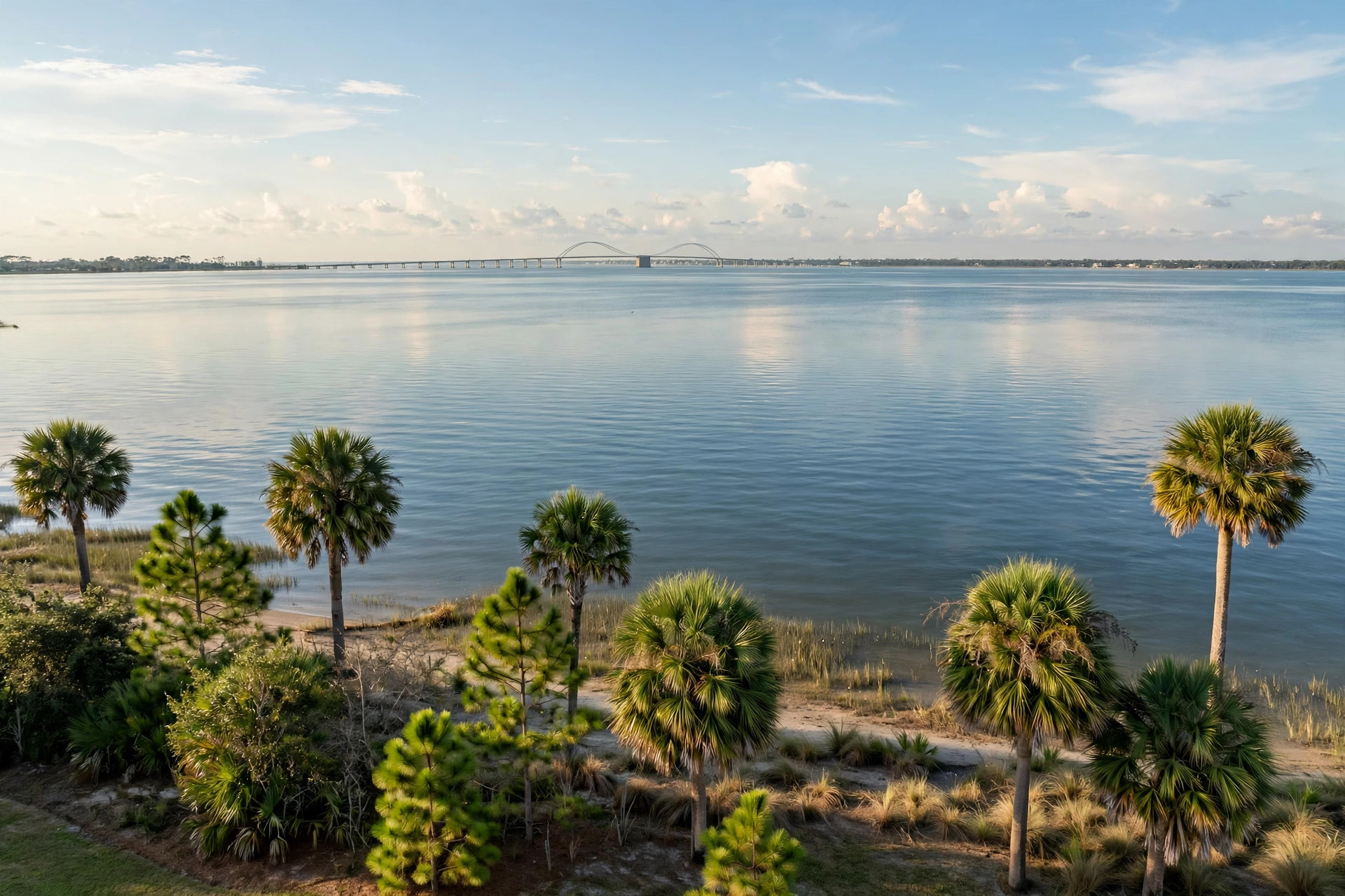
Pensacola is having the calm before the front. The station's live weather feed (Open-Meteo), read at 11:36 a.m., put the city at 74.4 degrees, feeling like 76.1, and mainly clear - up four degrees from the mid-morning read - on its way to a Monday high of 75.4 with a rain chance of just 1 percent. The National Weather Service's forecast for the North Escambia area is a touch warmer, calling Monday partly sunny with a high near 78 and an east wind of 5 to 15 mph, gusting to 20, before a partly cloudy night with a low around 65.

Election Day itself is unchanged in shape and worth planning around. The feed calls Tuesday rain showers - weather code 81 - at a 47 percent chance, with a high of 76.5 and a low of 70.3, while the Weather Service has Tuesday partly sunny near 79 with southeast winds gusting to 20 and a 30 percent chance of showers and thunderstorms after midnight. Read together: voting hours from 7 a.m. to 7 p.m. look mostly dry-to-showery rather than washed out, and an umbrella in the car covers the rest.
Wednesday is still the week's hinge. The feed carries a 57 percent drizzle chance and a high of 83.9 ahead of the front; the Weather Service's stronger line is showers and possibly a thunderstorm at an 80 percent chance, with the severe threat low. Behind the front the air changes character - the feed cools Friday to a high of 75.7 and Sunday's low to 58.3, and the Weather Service brings nighttime lows into the 40s by Friday night, setting up a cooler, mostly sunny homecoming weekend: Saturday near 74 in its forecast, 79 in the feed.